
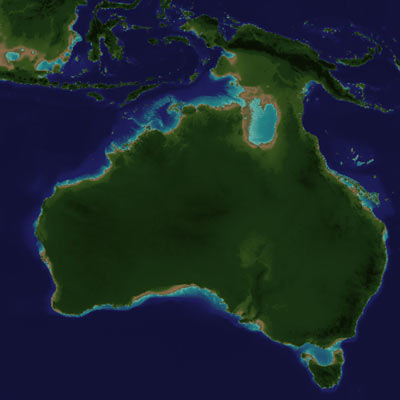
SahulTime is an ongoing project to create a visual, interactive representation of the Earth's history. Imagine we could go back in time and view the ancient Earth from space... What would we see?
The SahulTime delivery system extends the interface paradigms of "Digital Earth" geobrowsers through a further dimension in time. Satellite-style reconstructions reflect changing coastlines, the icons are time-aware, and even photographs can can be taken through a timewarp to view reconstructed ancient landscapes.
Having started with Australia over 100,000-year scale, the SahulTime project is now widening its scope to cover all timescales and spatial scales.
You can explore SahulTime here. Like most Web 2.0 systems, it will always be a work-in-progress, so further functionality and datasets will be added in future.
Caution: Please note that this representation is a reconstruction based on available data and knowledge, which always has an inherent uncertainty. As a visual model SahulTime provides a good first approximation of the Earth's past, but please contact the SahulTime project for further details and discussion of any aspect shown here.
System requirements:
Flash Player:

At least 1024 x 768 screen resolution
Fast Internet connection (2MB download)
SahulTime was created by Matthew Coller, a Monash Multimedia graduate / Masters of IT candidate, in collaboration with the Monash School of Geography and Environmental Science.
![]() The SahulTime project is currently funded by grants from the Environmental Futures Network
The SahulTime project is currently funded by grants from the Environmental Futures Network