

Paul R. Houser, NASA/GSFC Hydrological Sciences


Objective: A 1/8 degree (~10km) global land
modeling and assimilation system that uses all relevant observed forcing, storages, and
validation.
Expand the current N. American LDAS to the globe. Eventual 1km global resolution goal
Benefits: Enable
improved land-atmosphere understanding,
hydrological and climate prediction, transfer
research to application, and enable consistent
inter-site comparison (i.e. GEWEX).
Land Modeling: Use multiple state-of-the-art water-energy-carbon land modeling systems.
Land Observation: Use best available observed forcing from surface and remote sensing platforms.
Data Assimilation: Merge a wide range of surface information to constrain and
improve model trajectory.
Validation/Calibration: Compare GLDAS to independent observations, i.e. streamflow.
Open Collaboration: Encourage international participation through code and data access, and cooperative evaluation.
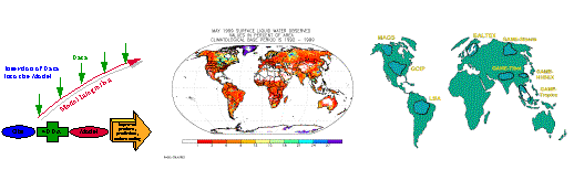
LDAS Concept: NLDAS(North-America), ELDAS(European), GLDAS(Global), and many others
(I.e. GSWP)
Coupled Connections: GLDAS is the off-line land-surface development strategy for DAO, NCEP,
NCAR, and NSIPP.


![[NOAA]](slide0071_image199.gif)
Paul
R. Houser, NASA/GSFC
Hydrological Sciences
Paul.Houser@gsfc.nasa.gov

Observed Forcing
Consistent Global
Intercomparison
Land Data Assimilation
CEOP
NASA-EOS/IDS 2000-2003 Project